-
Mapping Refugees and Urban Job Opportunities
›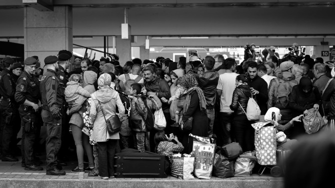
Although most of us picture refugees living in remote, dusty camps, as many as 2.1 million of the developing world’s working-age refugees reside in major urban areas—where they should have greater access to employment opportunities. However, according to a new report from the Center for Global Development, finding employment remains “one of the major unmet needs identified by refugees.”
-
Sustainable Water, Resilient Communities: The Challenge of Erratic Water
›From the Wilson Center // Water Security for a Resilient World // June 7, 2018 // By Rebecca Lorenzen
Water variability is increasing “due to climate change and to more frequent natural disasters,” said Jonathan Cook, Senior Climate Change Adaptation Specialist with the U.S. Agency for International Development, at the fourth and final event in a series on water security organized by the Wilson Center and the Sustainable Water Partnership. To solve the problem of increasingly erratic water, “business as usual is really not acceptable anymore,” said Will Sarni, founder of WetDATA.org, who called for new, innovative ideas: “Hope is not a strategy.”
-
Maternal Health Experts: Strategic Partnerships and Data Key to Strengthening Health Systems
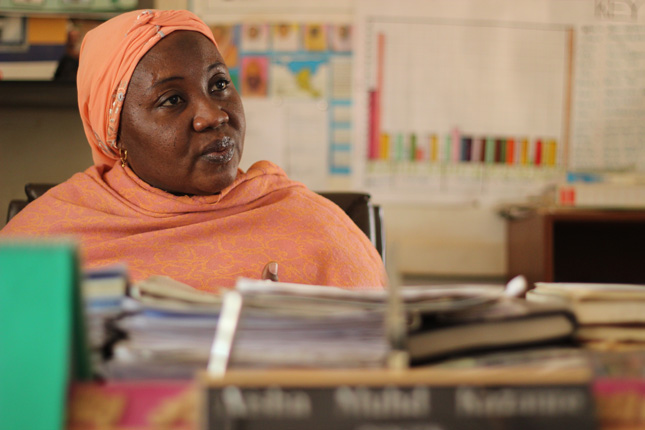
› “We need to think differently about how we invest in our country programs, and what outcomes we are interested in,” said Dr. Koki Agarwal, director of the U.S. Agency for International Development (USAID)’s flagship Maternal and Child Survival Program (MCSP) and a Vice President with Jhpeigo, at a recent Wilson Center event.
 -
Strengthening Health Systems Improves Healthcare for Women, Children, and Youth
›
“We cannot achieve our goals of ending maternal and child deaths without addressing critical health system barriers around the world,” said Grace Chee of the U.S. Agency for International Development (USAID)’s flagship Maternal and Child Survival Program at a recent Wilson Center event. To improve the lives of mothers and children, health workers must address the underlying causes of poor health outcomes, including systemic weaknesses in health care governance, financing, and human resources.
-
Maps of Mayhem: Predicting the Location of Civil War Violence
›
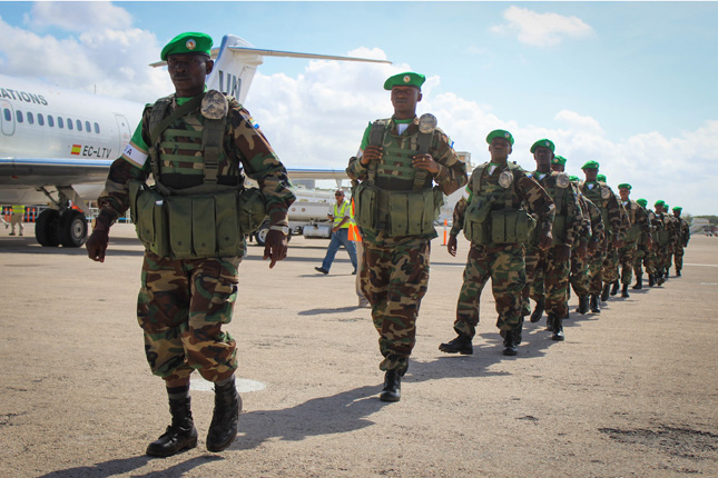
Over the past decade, we have seen a resurgence of civil conflicts in Africa, the Middle East, and southeast Asia, as weak states are increasingly threatened by non-state actors, such as organized crime groups, terrorist organizations, and insurgents. These wars endanger millions of people—including some of the world’s most at-risk populations—by exposing them not only to violence, but also displacement, environmental degradation, and economic destruction. To effectively protect them, leaders and policymakers need to be able to predict exactly where, when, and how insurgent violence will break out and spread.
-
Criminal Elements: Illegal Wildlife Trafficking, Organized Crime, and National Security
›
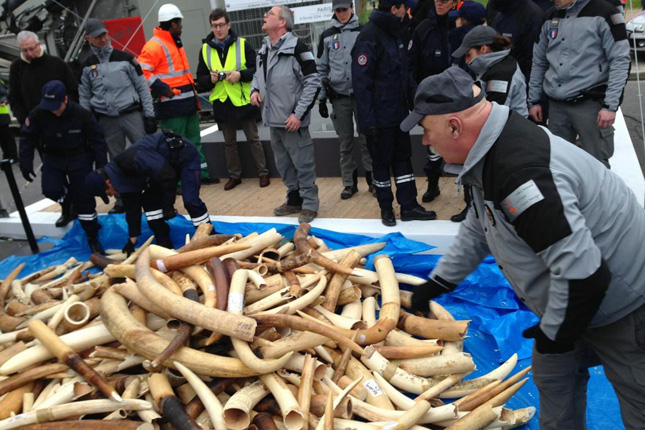
“The same criminals that are trafficking in drugs, guns, and people, traffic in wildlife,” said Christine Dawson, the director of the Office of Conservation and Water at the U.S. Department of State, at a recent event in the Wilson Center’s “Managing Our Planet” series. Experts from Vulcan Productions and Brookings Institution joined Dawson to discuss the links between national security and wildlife trafficking, which is now the fourth largest transnational crime in the world, and to mark recent legislative successes and innovative tools.
-
“Let’s Start From Here”: Local Solutions for Loss and Damage and Livelihood Resilience
›
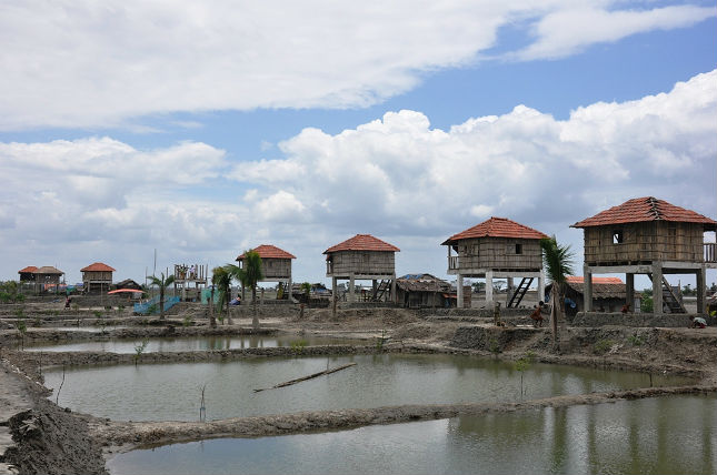
Without warning, water rushed into a woman’s home on a raised platform above the floodplain of Bangladesh’s Teesta River. She was just a hand’s distance from her infant son, but she couldn’t stop him from falling into the floodwaters. “She can’t recover back from the trauma,” said the University of Dundee’s Nandan Mukerjee of the mother who lost her child to the currents of climate change.
-
Bike-sharing Data and Cities: Lessons From China’s Experience
›
The first U.S. city to host a docked bike-share system, Washington, D.C., is now home to a rapidly growing influx of dockless bikes, with five companies vying for the market. The docked system still accounts for 87 percent of the shared bikes in the United States, but the number of dockless bikes—which can be located by riders using an app and then left anywhere—is growing rapidly. The data from these location-enabled bikes provide a unique opportunity to measure the point-to-point transportation needs of millions of people in some of the world’s densest cities.
Showing posts from category data.


 “We need to think differently about how we invest in our country programs, and what outcomes we are interested in,” said Dr. Koki Agarwal, director of the U.S. Agency for International Development (USAID)’s flagship